Indigenous peoples and people of color are disproportionately affected by our global climate crisis. But in the mainstream green movement and in the media, they are often forgotten or excluded. This is Tipping Point, a new VICE series that covers environmental justice stories about and, where possible, written by people in the communities experiencing the stark reality of our changing planet.
In 1994, when Sandy and Sarah Adam moved into their home on The Point, Tuktoyaktuk, on the northern tip of the Northwest Territories, there was a spacious backyard and a beach separating their house from the ocean.
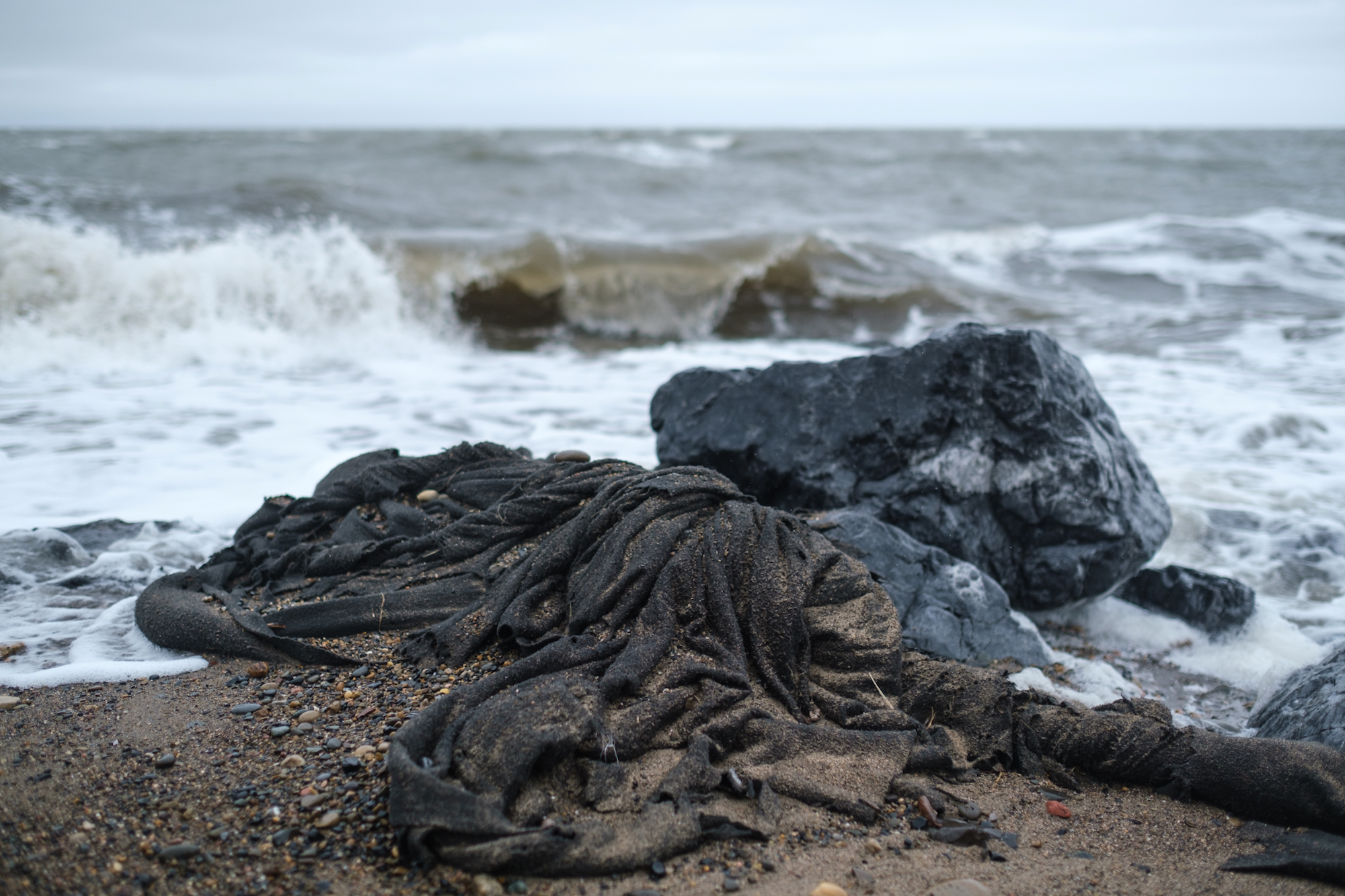
Now, the rip-rap, the shore reinforcement made of boulders, is the only thing protecting their home from the destructive force of the waves of the Beaufort Sea.
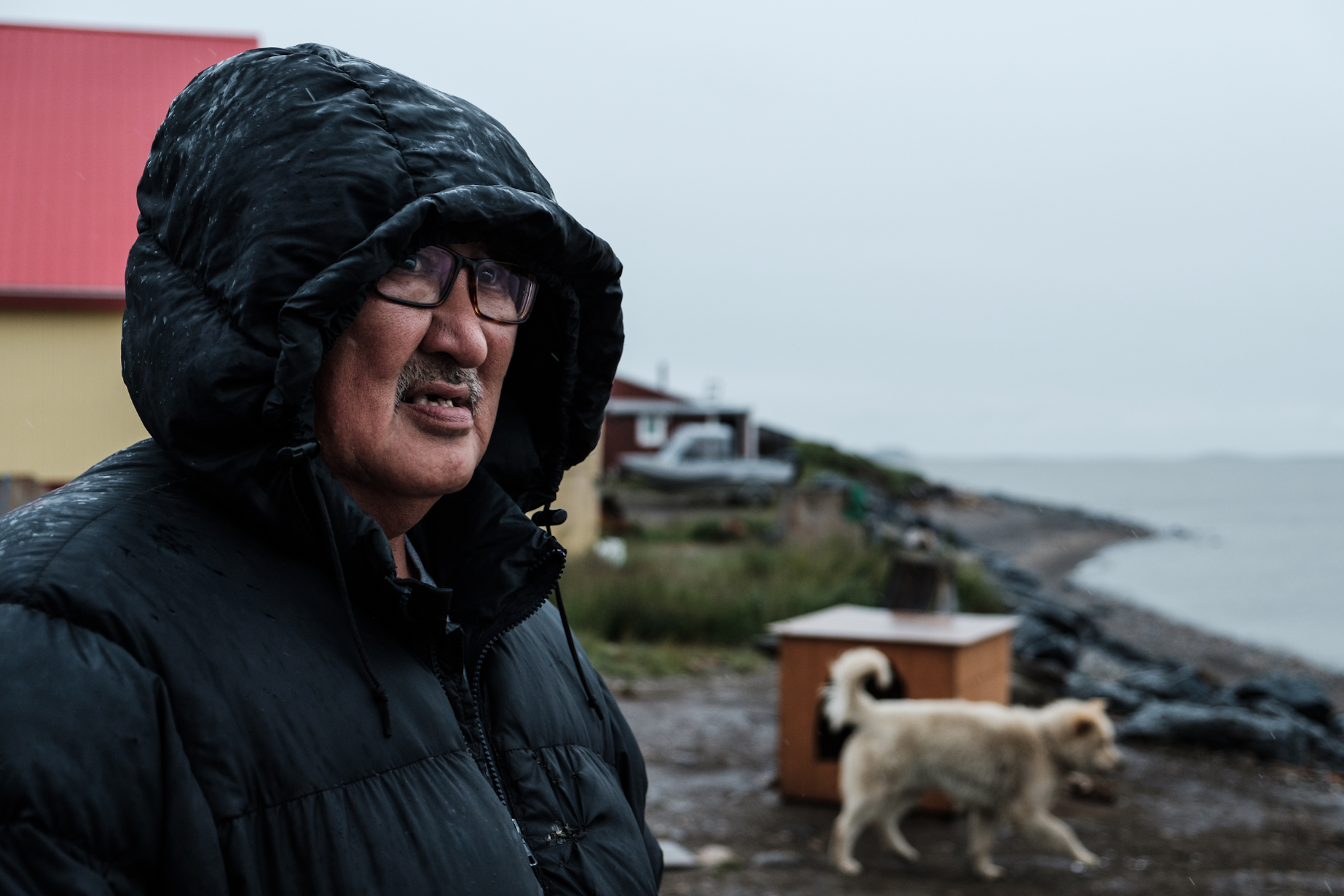
Sandy said that despite the boulders and geotextiles added three years ago, the reinforcement is slowly sliding down into the water. “Too much, way too much” of his property has been washed away, Sandy said, shaking his head.
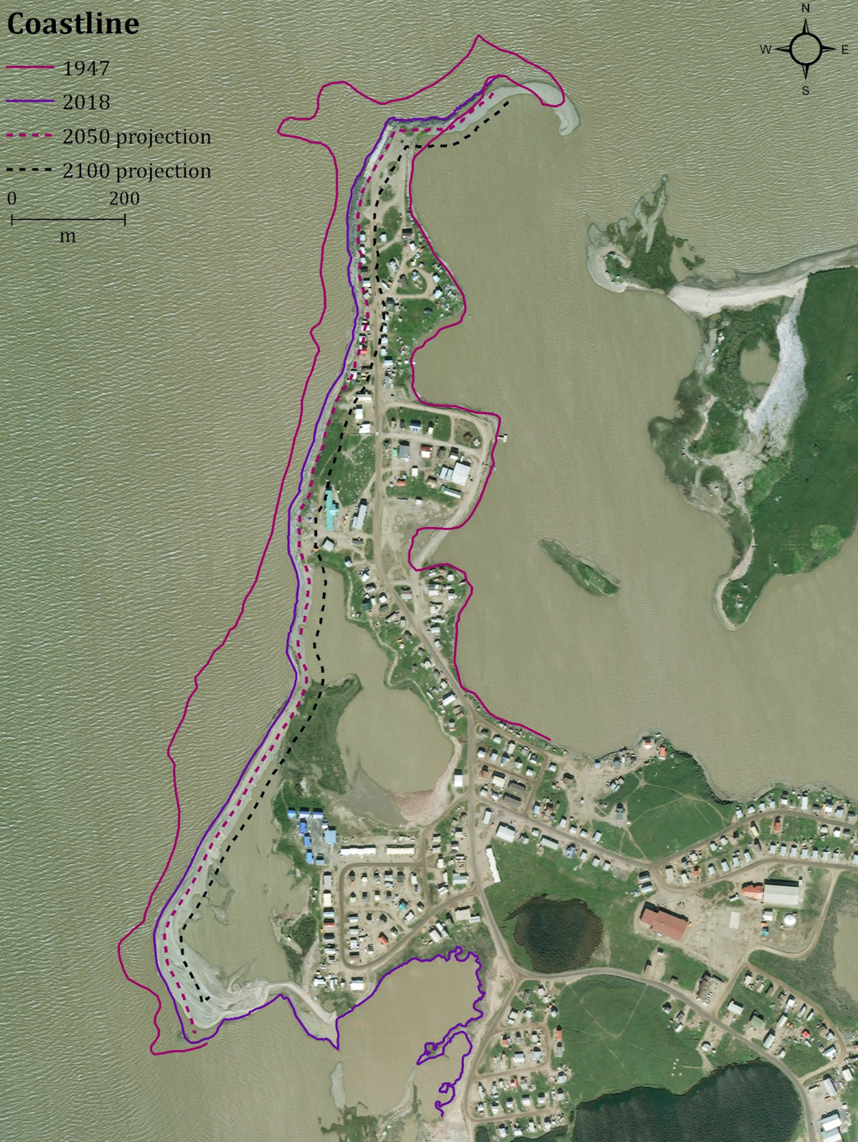
Tuktoyaktuk, an Inuvialuit community of about 950 people, is one of the first communities in Canada facing relocation due to the impact of global warming. Despite several attempts to protect the shore from erosion over the past few decades, the ocean keeps advancing inland due to a shorter ice season, rising sea levels, and permafrost thaw.
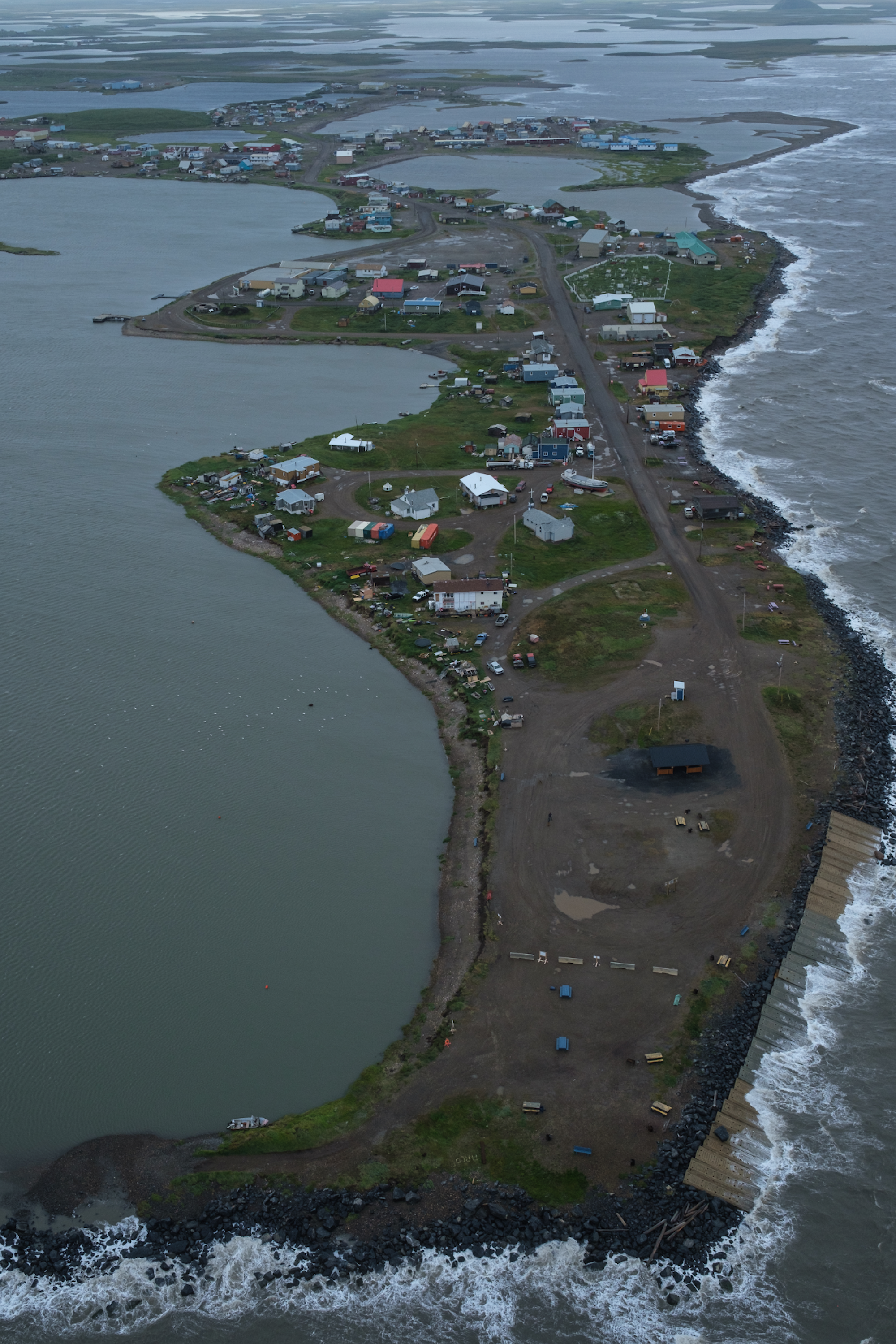
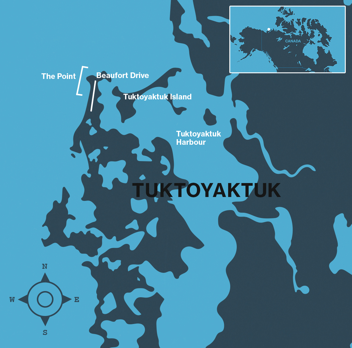
Six buildings have already been removed from the oceanfront since 2016, most of them public housing.
The Adams’ house, as well as Noella Cockney’s home on The Point, are two of the four houses listed for urgent relocation inland. The hamlet of Tuktoyaktuk received $800,000 to move the four houses to new lots at Reindeer Point, about six kilometres away.
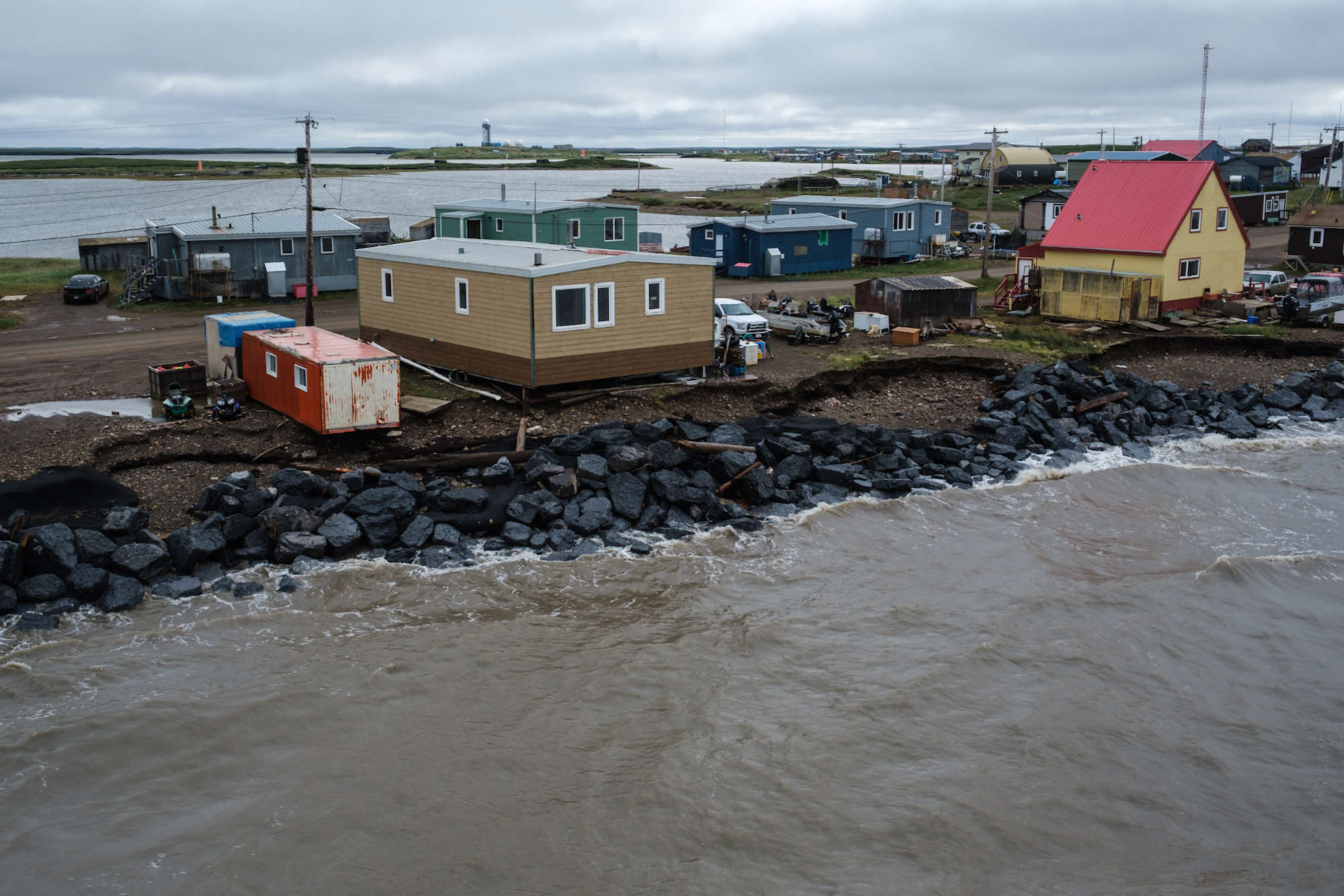
But the move hasn’t happened yet—the process is complex because it’s all happening on permafrost. Buildings up here typically sit on stilts or blocks, so gravel pads that have rested for at least a year (a full seasonal cycle of thawing and freezing) first must be laid down on the new lots so houses don’t sink into the ground.
On top of that, most construction work happens in the winter because the ground is more stable then. If you disturb permafrost or drive heavy equipment on it when it’s above zero it basically turns into a swamp.
Now there’s been talk about trying again to reinforce the shoreline.
“To be honest I have no idea on what will happen any more. Now that winter is here no one is talking or worried about it,” said Cockney, adding that the hamlet office has “not updated any of us as to what will happen.”
Examples of very dramatic, quickly progressing erosion can be seen all along the Canadian coast of the Beaufort Sea.
Tuktoyaktuk Island, about a kilometre-long spit of land across from The Point, acts as a natural barrier protecting Tuktoyaktuk Harbour. At the current rate of erosion, it is expected to wash away within the next 20-30 years, according to a report from W.F. Baird & Associates Coastal Engineers, which the hamlet hired to study possible solutions.
The open water season around Tuktoyaktuk increased to 110 days from 95 days in 1975, and is projected to grow by another two months by 2060, says the Baird report.
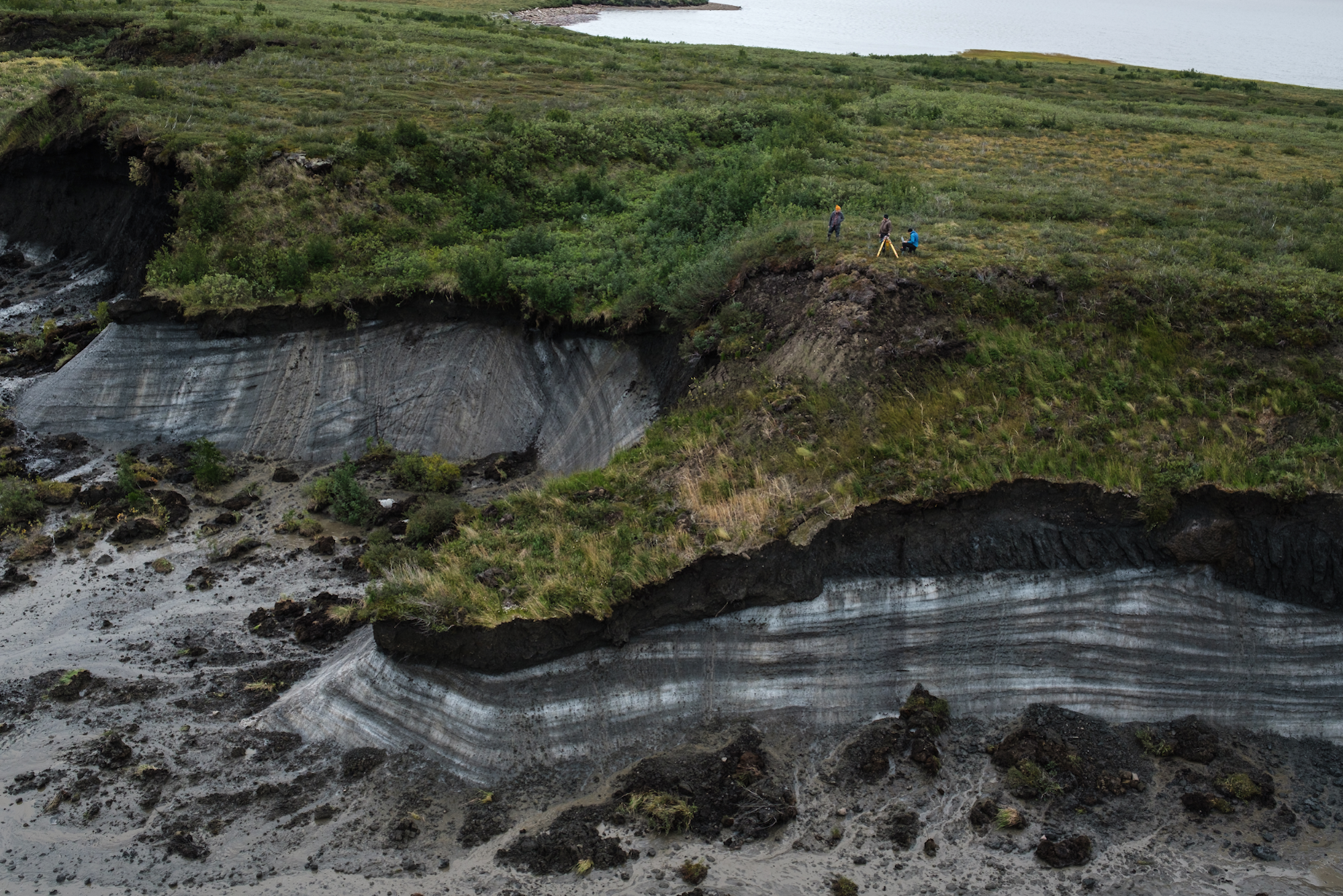
According to Dustin Whalen, who works for Natural Resources Canada, some sections of Pelly Island, a remote island about 100 kilometres west of Tuktoyaktuk, recede as much as 30-40 metres a year.
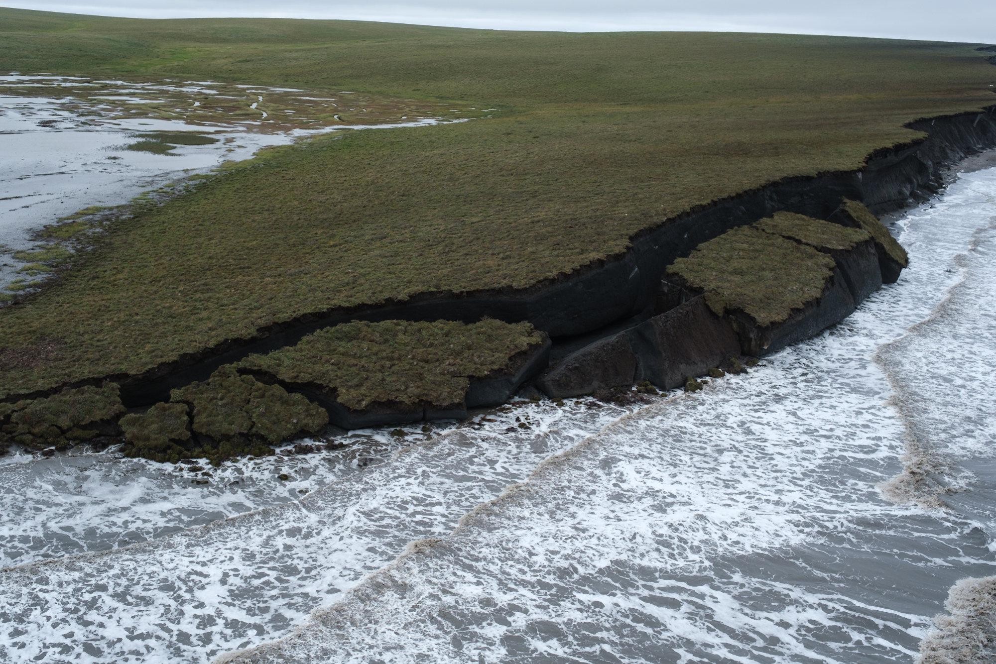
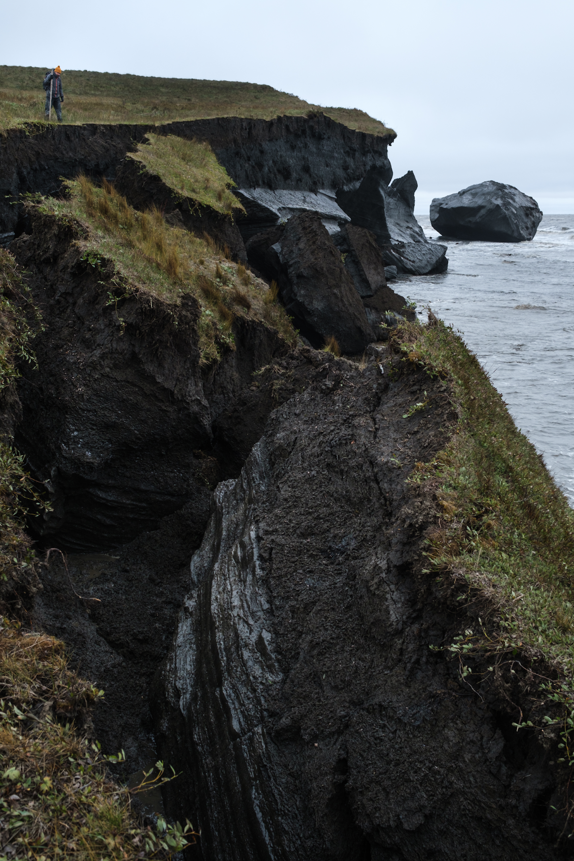
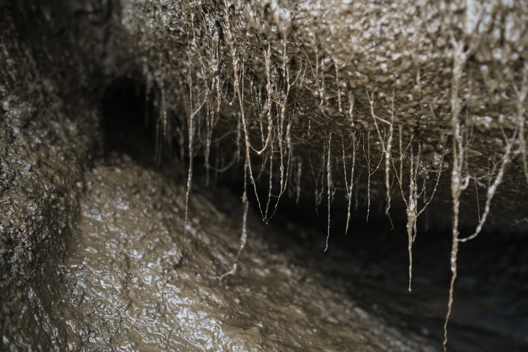
In Pelly you are surrounded by the sounds of dripping and splotching as the exposed permafrost thaws away; you can even smell it, like the earthy scent of wet soil. You have to watch where you put your feet because there are deep crevasses in the tundra where the undercut blocks are beginning to separate from the island.
The extent of the long-term impact of thawing permafrost on the surrounding environment isn’t yet fully known. For residents of Tuktoyaktuk where subsistence fishing and hunting are a part of the traditional way of living, ocean acidification and its effect on marine life and elevated concentrations of mercury in fish and wildlife are just as concerning as shore erosion and flooding.
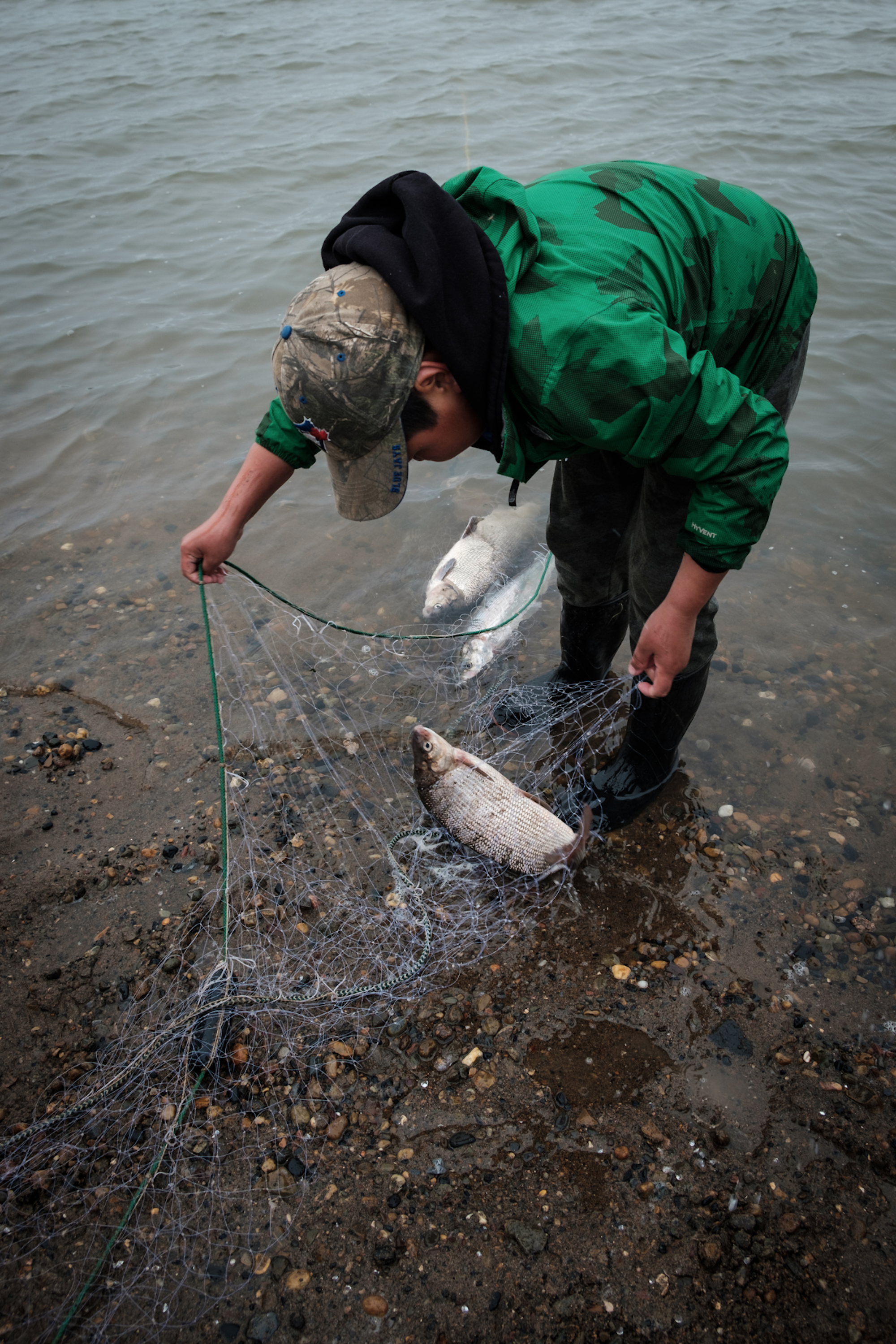
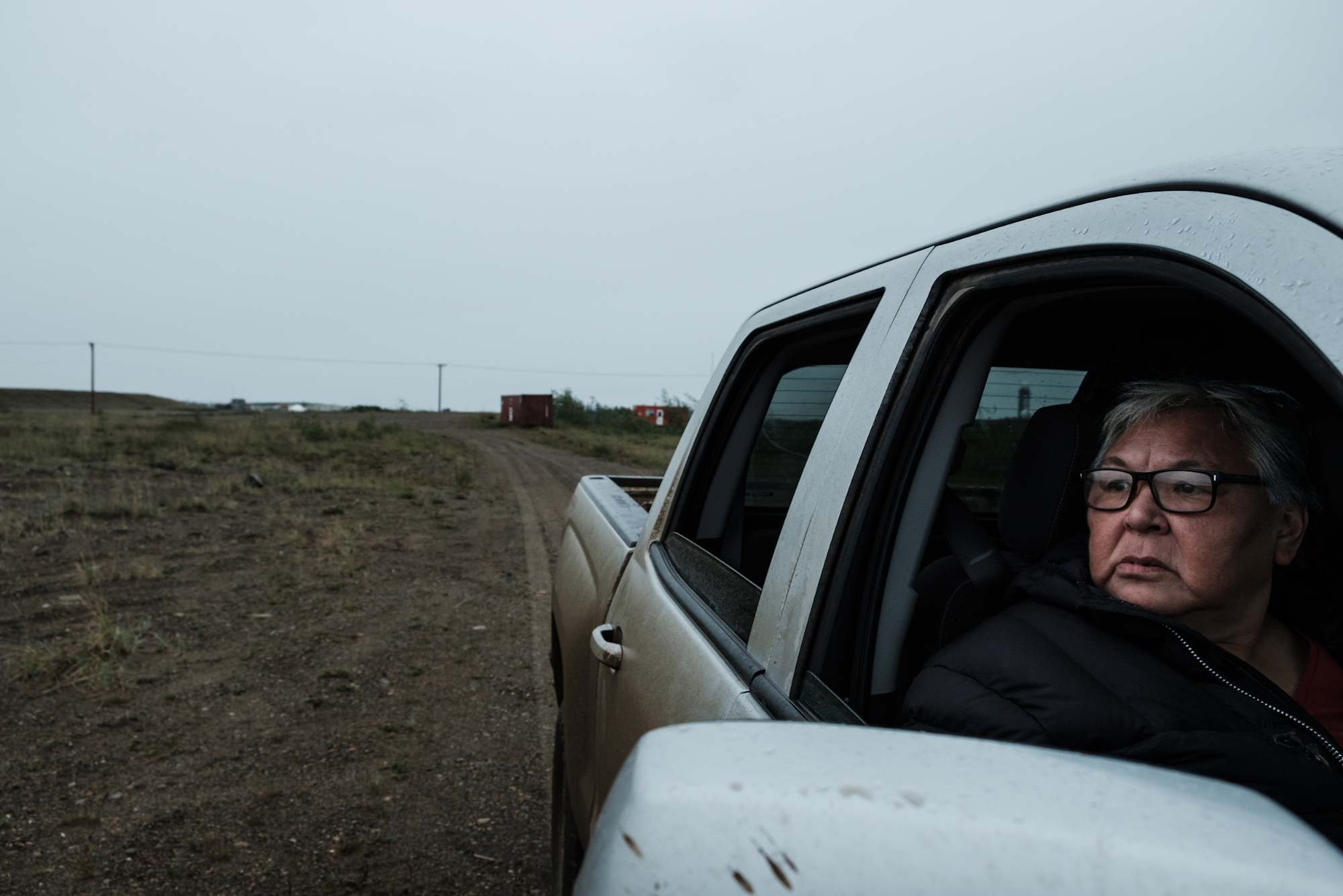
As for Cockney and the Adams, they accept they are not long for living on The Point, and are looking forward to a time when they don’t have to worry about their homes being destroyed or swallowed by the sea.
Weronika Murray is a photojournalist based in Inuvik, Northwest Territories. She started to document the impact of climate change on Arctic communities and landscapes in 2017. Follow her on Instagram.
Have a story for Tipping Point? Email TippingPoint@vice.com
This article originally appeared on VICE CA.
from VICE https://ift.tt/32bfvct
via cheap web hosting
No comments:
Post a Comment